A story map to present the facts about the sale of our federal land.
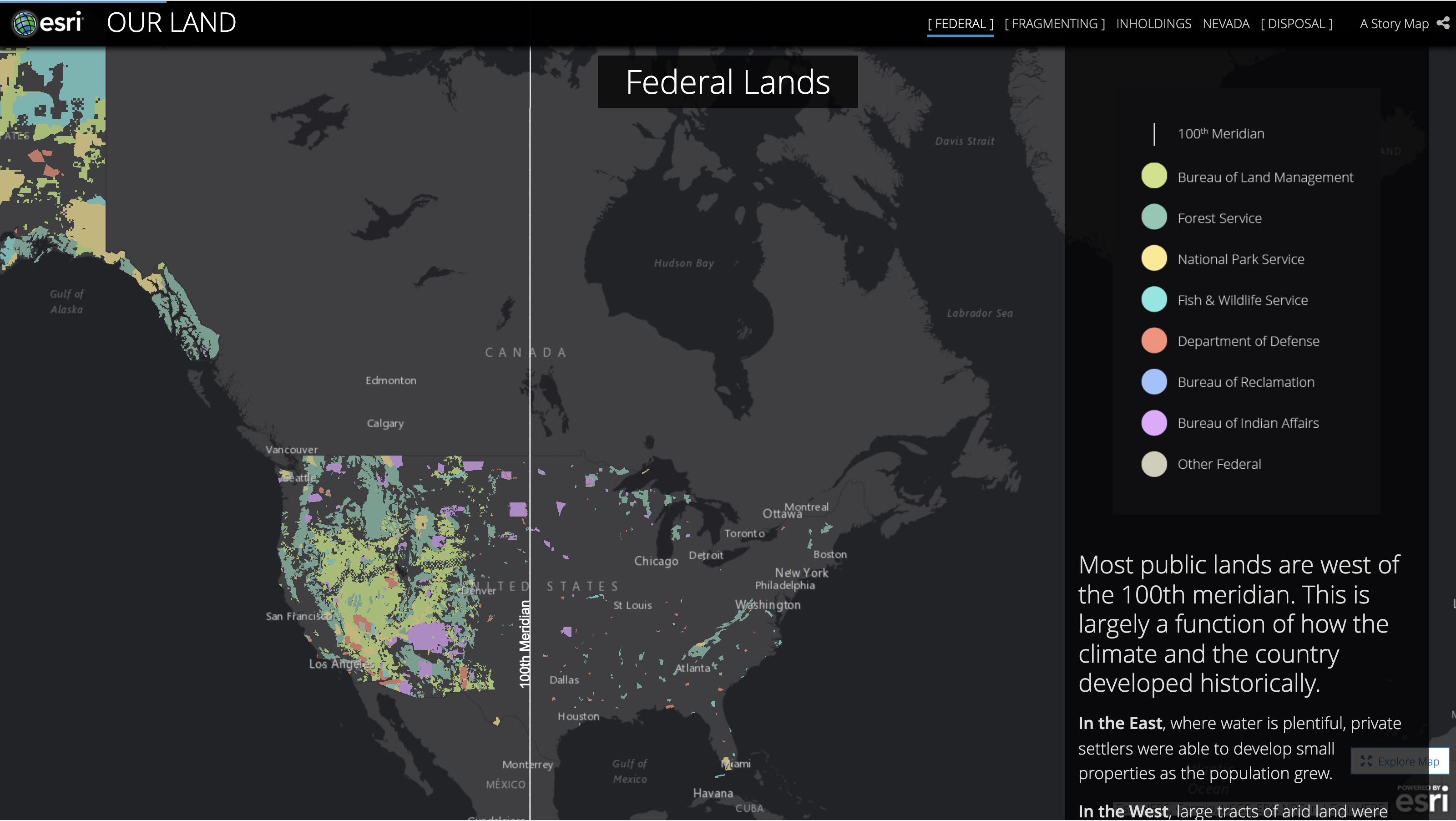
Across the Western United States, a wave of legislation is being proposed that would accelerate the sale of public lands. This concept may evoke a strong reaction in the American public. Some view the wide open landscapes of the West as a national treasure that should be protected. Others feel that government overreach is making it too hard to access resources and that private management would do a better job.
This project uses data to take a new look at our public lands and what this approach reveals may be a surprise, no matter what your point of view. This story is told by a team of professional geospatial analysts and award-winning digital storytellers from the University of Arizona.
I crafted the design of the experience using Esri.


